Novel use of 3D geoinformation to identify urban farming sites
Added on 22 April 2021

However, the suitability of specific crops and locations for farming is variable, and conventional methods to assess farming potential involve field visits and time-consuming measurements.
How can we assess the suitability of farming locations in land scarce Singapore quickly and accurately?
Predicting sunlight conditions to determine farming sites and suitable crops
Led by Dr. Filip Biljecki, presidential young professor at NUS Design and Environment, the study investigates the possibility of using three-dimensional (3D) city models and urban digital twins to assess the suitability of farming locations in high-rise buildings in terms of sunlight availability.
Titled "3D city models for urban farming site identification in buildings," their research paper was published in the journal Computers, Environment and Urban Systems, based on a proof of concept focused on a residential building situated at Jurong West in Singapore. Field surveys were carried out to validate the simulation figures.
"We investigate whether vertical spaces of buildings comprising outdoor corridors, façades and windows receive sufficient photosynthetically active radiation (PAR) for growing food crops and do so at a high resolution, obtaining insights for hundreds of locations in a particular building," shared the paper's first author Mr Ankit Palliwal, who graduated from the NUS Geography with a Master of Science in Applied GIS.
Click here to read more on Techxplore.
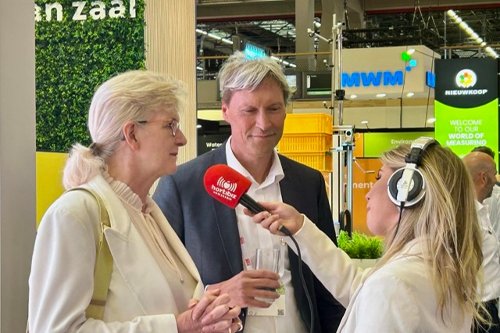
Photo: Dr Filip Biljecki showcasing the urban digital twin used in the study.
Courtesy of Techxplore
Source: Techxplore
More news
